
How Hazard-Ready Is Your Connecticut Home? New State Tool Gives You a Free Custom Analysis
Protect your family and property with detailed risk data for flooding, wildfires, heat, and wind

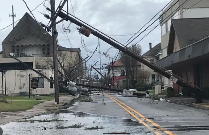
Photo: Flooding aerial view by Tony Webster / CC BY 2.0
Connecticut just became the first state to give every homeowner and business free access to property-specific hazard assessments. The new online tool announced by Governor Lamont—a partnership between the state Insurance Department and risk data firm First Street—lets you type in any address and instantly see your exposure to flooding, wildfires, extreme heat, wind damage, and air quality concerns.
This matters for protecting your family and your investment. The tool uses advanced models that predict risk decades ahead, far more detailed than the outdated FEMA flood maps most families rely on. That’s critical because nearly half of all flood damage happens outside FEMA flood zones—a devastating reality western Connecticut homeowners learned in August 2024, when many without flood insurance lost everything because they didn’t know they were at risk.
“Homeowner’s insurance policies traditionally do not cover flood damage,” Commissioner Andrew Mais pointed out during the announcement. Traditional policies leave families vulnerable, and many Connecticut residents don’t realize it until disaster strikes. The tool helps you make smart insurance decisions before it’s too late.
Governor Lamont is encouraging families throughout Connecticut to check their properties and share the resource with neighbors. Knowing your home’s specific vulnerabilities isn’t just about insurance—it’s about preparedness, peace of mind, and protecting what matters most.
Get your free property assessment: portal.ct.gov/cid/resource-library/free-climate-risk-mapping-tool